9730222060 Mon - Sat: 9:00 - 18:00 Fourmile.akola@gmail.com
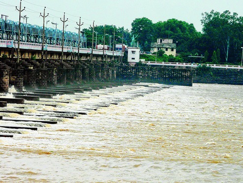
Barrage Survey
1) Detailed contour & grid survey.
2) Drone survey for submergence.
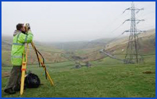
Transmission Line Survey
1) Transmission line survey.
2) Tower line survey.
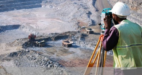
Minning Survey
We provide our clients with advanced instrumentation equipment, the dgps and uav technology, the information and the network technology and the information fusion technology and so on, and analysed the problems which exists in the current mining survey, and provided new ways to present age mining survey from the sustainable development angle and provide our client with best possible result.
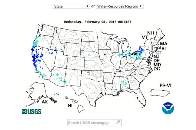
Flood Line Survey.
The very latest photogrammetric post-processing software is used to produce 3d digital surface models, Geo-referenced rgb point clouds and high-resolution Ortho-rectified photographs and image files.
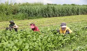
Agricultural Crop Survey.
Content coming soon....
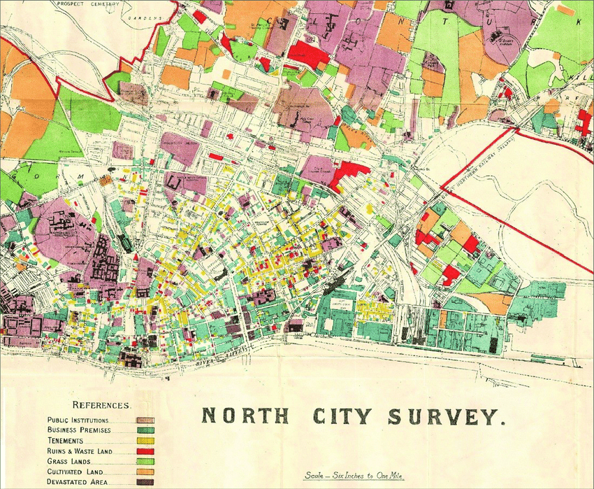
City Map Survey.
Content Coming Soon.....